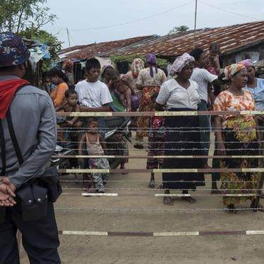
(Rangoon) – The Burmese government should allow human rights monitors and independent journalists prompt and unfettered access to northern Rakhine State to investigate alleged widespread property destruction and other rights abuses against ethnic Rohingya, Human Rights Watch said today.
At a news conference on November 16, 2016, Burma’s Office of the State Counsellor responded to a November 13 Human Rights Watch report that used satellite imagery to identify 430 destroyed buildings in three Rohingya villages in Maungdaw district. Zaw Htay, deputy director general of the President's Office, acknowledged there had been buildings burned in the three villages, but disputed the total number based on images collected on November 15, by a Burmese military helicopter. He also stated the government would lift restrictions on non-state media access to the area, which has been on lockdown since October 9, but provided no timeframe for doing so.

Before: © 2016 Human Rights Watch After: © 2016 Human Rights Watch
Before: © 2016 Human Rights Watch After: © 2016 Human Rights Watch
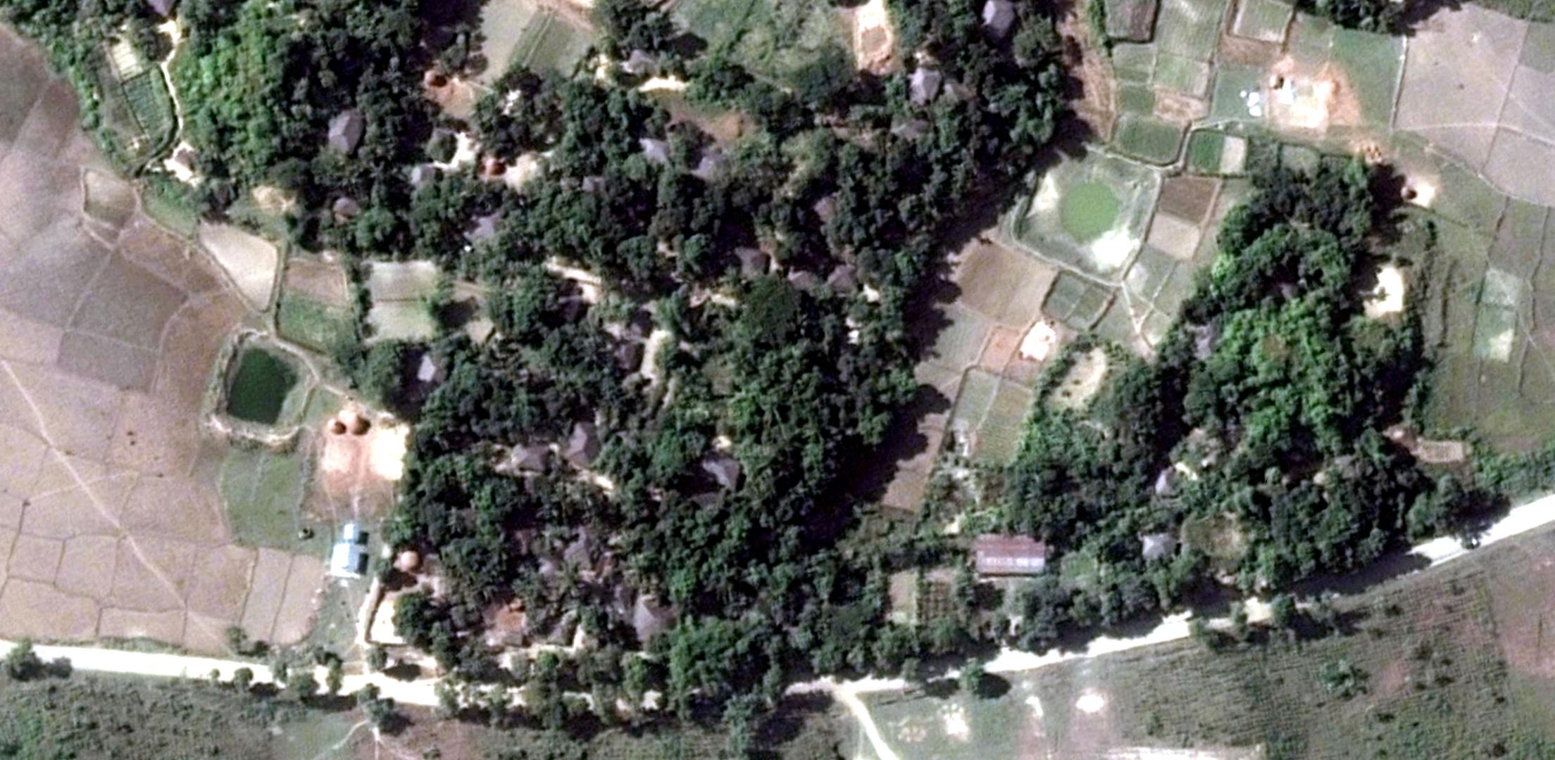
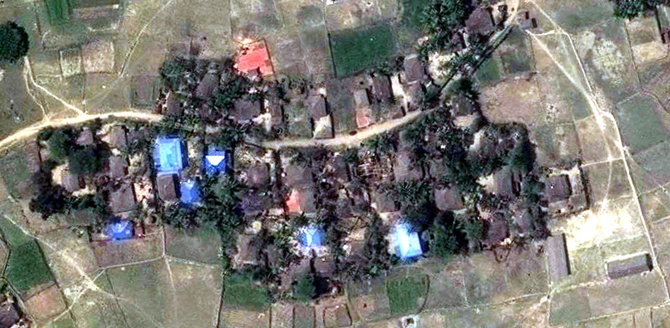
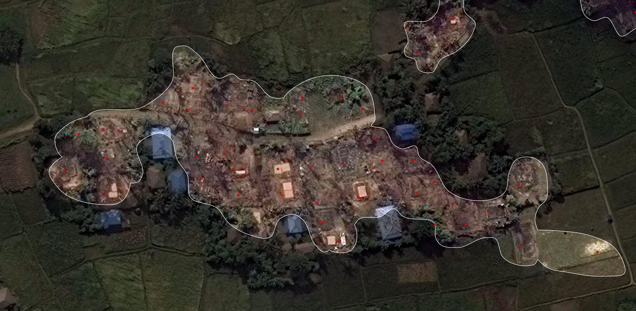
Human Rights Watch identified a total of 430 destroyed buildings in three villages of Maungdaw District from an analysis of very high resolution satellite imagery recorded on the mornings of October 22, November 3, and November 10, 2016. Of this total, 85 buildings were destroyed in the village of Pyaung Pyit (Ngar Sar Kyu); 245 buildings were destroyed in the village of Kyet Yoe Pyin; and 100 buildings were destroyed in the village of Wa Peik (Kyee Kan Pyin). Damage signatures in each of the assessed villages were consistent with fire, including the presence of large burn scars and destroyed tree cover.
Before: © 2016 Human Rights Watch After: © 2016 Human Rights Watch
“The Burmese government’s confirmation of widespread fire damage in northern Rakhine State and offer to allow media access is a step toward getting at the truth of what happened,” said Brad Adams, Asia director at Human Rights Watch. “But this is long overdue. Prompt and unhindered access to affected areas for independent investigations by the media and human rights organizations is crucial.”
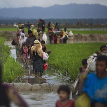
After the October 9 attacks on three border outposts in Maungdaw township that left nine police officers dead, the military implemented a lockdown of the area, denying access to humanitarian aid groups, independent media, and rights monitors. Another outbreak of violence occurred starting on November 11, during which nearly a hundred people were reported killed. According to humanitarian groups, tens of thousands have been displaced by the violence. Humanitarian access to the area remains extremely limited.
Human Rights Watch’s analysis of high resolution satellite imagery recorded on October 22, November 3, and November 10, identified 85 buildings destroyed in Rohingya communities in Pyaung Pyit (Ngar Sar Kyu), 245 in Kyet Yoe Pyin, and 100 in Wa Peik (Kyee Kan Pyin). Human Rights Watch found that damage signatures in each of the assessed villages were consistent with fire, including the presence of large burn scars and destroyed tree cover. Because of dense tree cover it is likely that the actual number of destroyed buildings is higher than 430.
Local organizations have alleged the attacks on villages were carried out by government security forces, while the Burmese authorities have said they were carried out by Rohingya militant organizations.
The military’s “True News Information Team” released a statement on November 15, claiming that the buildings had been “torched by members of the violent attackers in northern Rakhine.” Zaw Htay also denied allegations of rape and sexual violence committed by security forces against Rohingya women and girls during the military’s “clearance operations.”
“The army’s use of oblique angle photographs taken from helicopters to assess the extent of the destruction is flawed and inadequate,” said Adams. “Very high resolution satellite imagery recorded both before and after the attacks provide a more accurate picture of the damage that has occurred over the past month. But even this limited amount of information shows the urgent need for free access for impartial investigations by human rights organizations, and the media.”