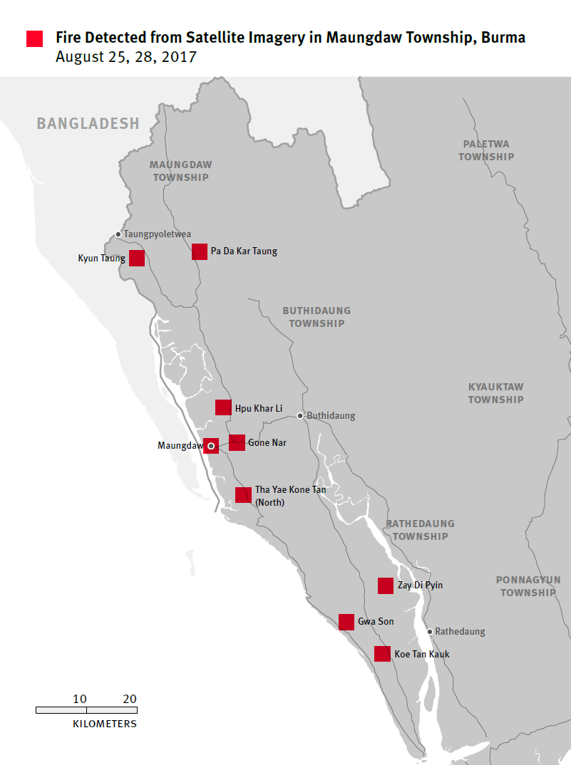
Map depicting sites where satellite sensors detected active fires between August 25 and 28, 2017. (Note that the size of the box does not represent the size of the fire detected.)
© 2017 Human Rights Watch
Map depicting sites where satellite sensors detected active fires between August 25 and 28, 2017. (Note that the size of the box does not represent the size of the fire detected.)